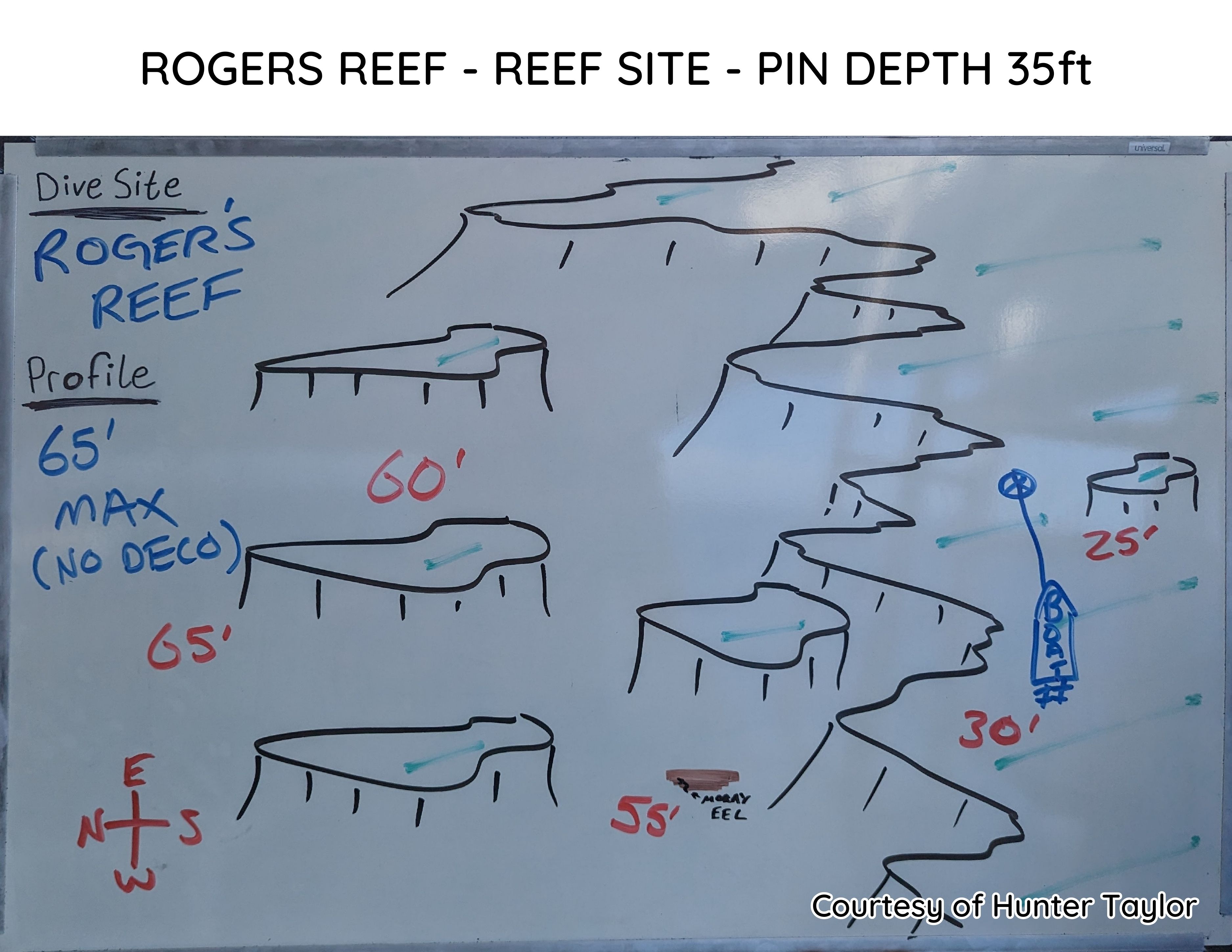
Roger's Reef
East End - Queen's Highway Roger's Reef
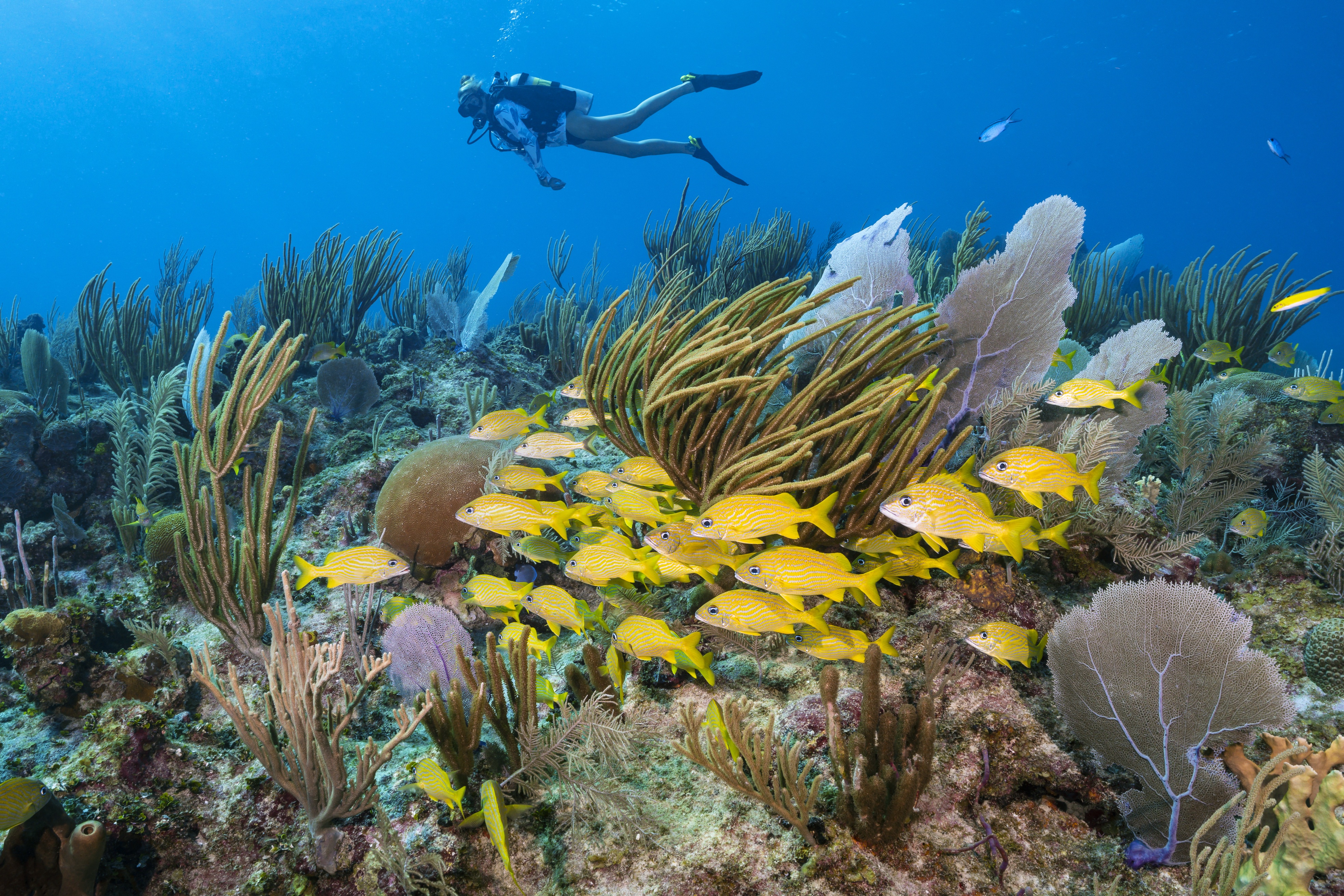
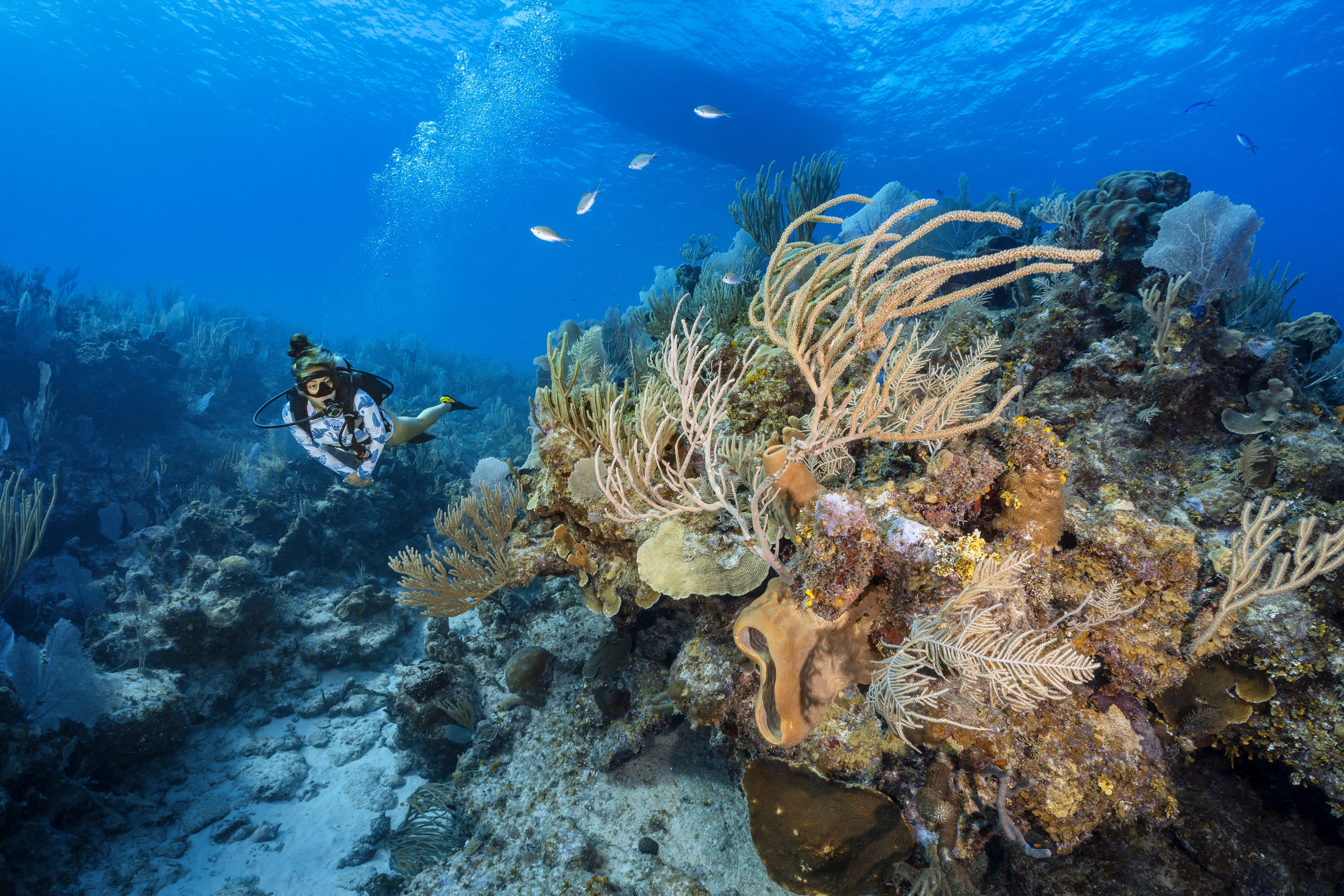
Named after where 'Roger' wrecked his small craft on the shoreline — the point became known locally as Roger's Wreck, and the reef directly offshore took its name from it. Sitting right where the northern coastline rounds the corner and heads south, this site is in a dynamic area and dived less frequently due to occasionally challenging conditions. When conditions allow, however, the edge of the miniwall is a circus of marine life — a beguiling array of colors and shapes competing for attention. The flat ledge at the top is where Sailfin Blennies make their burrows; look for the males rising out and performing their special dance.
Heading a little deeper into the Spur and Groove sand and reef channels opens up potential sightings of turtles, rays, sharks, and larger fish species. If you spot an old conch shell on the bottom, check inside for a corkscrew anemone — often accompanied by Pederson Cleaner Shrimp, identifiable by their purple and white antennae. When they frantically wave their antennae, they are offering to clean — perhaps you have time for a complimentary manicure?