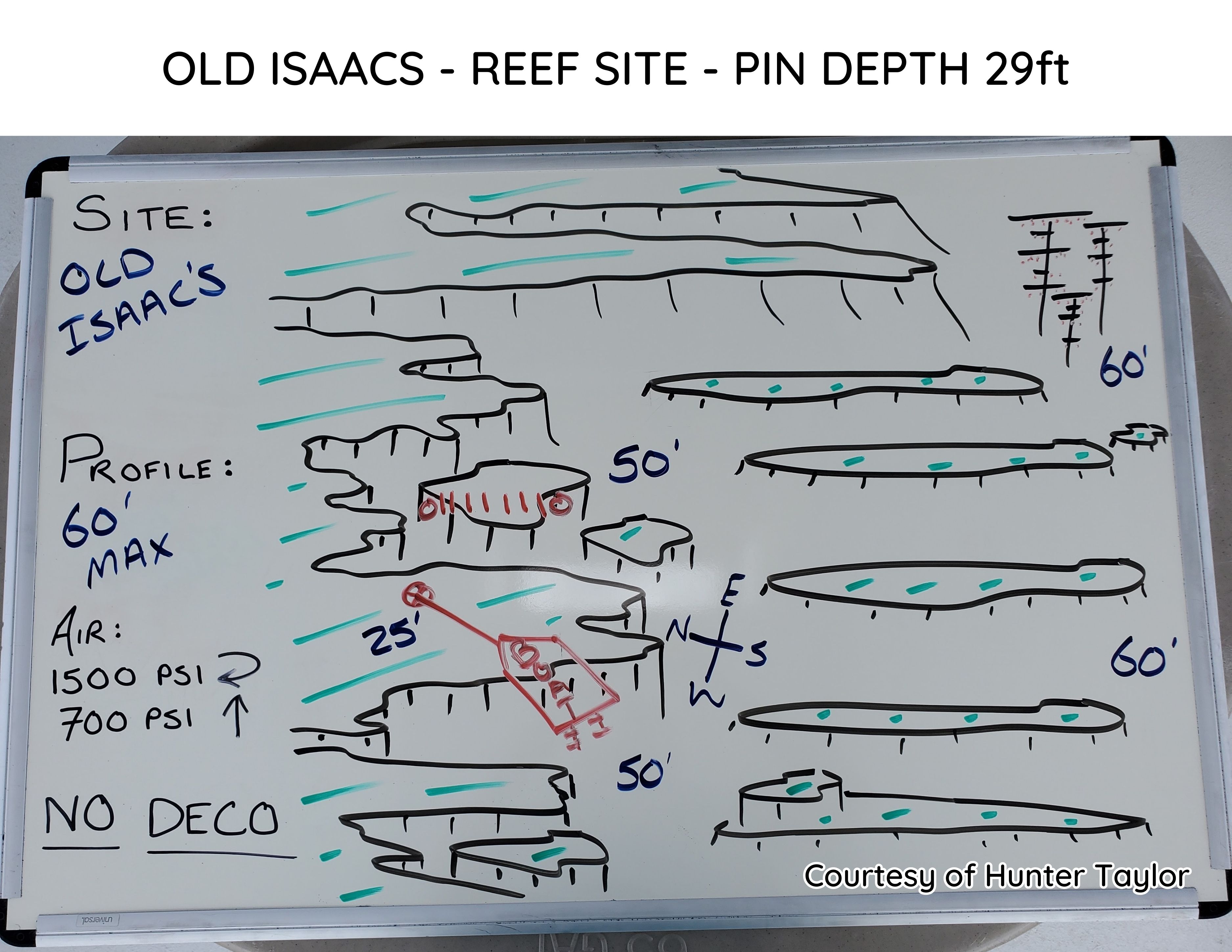
Old Isaac's
East End - Old Man Bay Old Isaac's
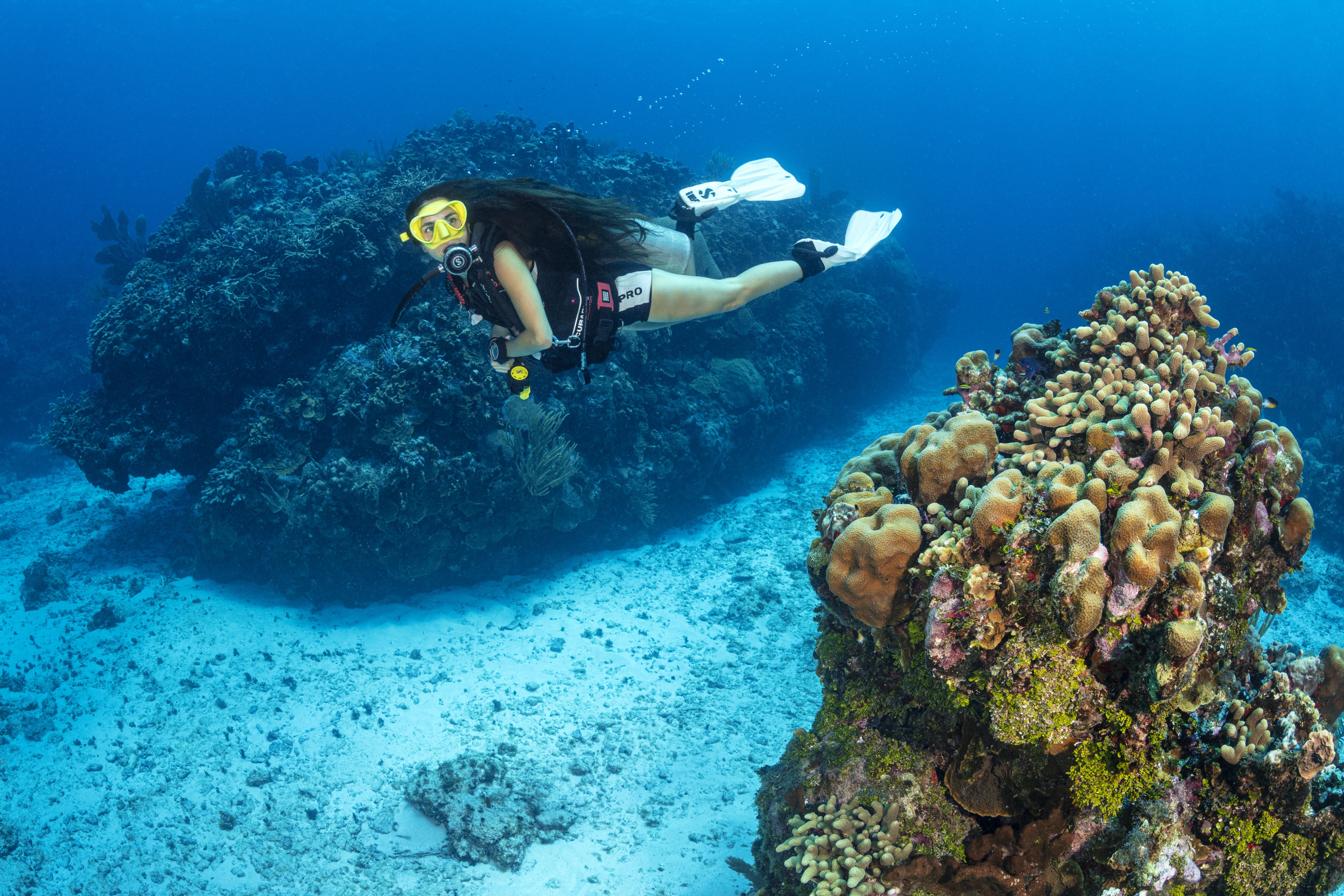
Named after the original 1662 settlement within the East End District, published on the 1773 map by George Gauld — Old Isaac's is located onshore in the general area of Compass Point Dive Resort. The site features a pronounced ledge starting at 25 feet and dropping dramatically to 50 feet, with a rubble-strewn bottom that is a favorite habitat for reef critters. Yellow-Headed Jawfish hover just inches above their holes; approach low and slow and they will remain outside their dwellings, providing a wonderful opportunity to observe them feeding or doing some sandy housekeeping.
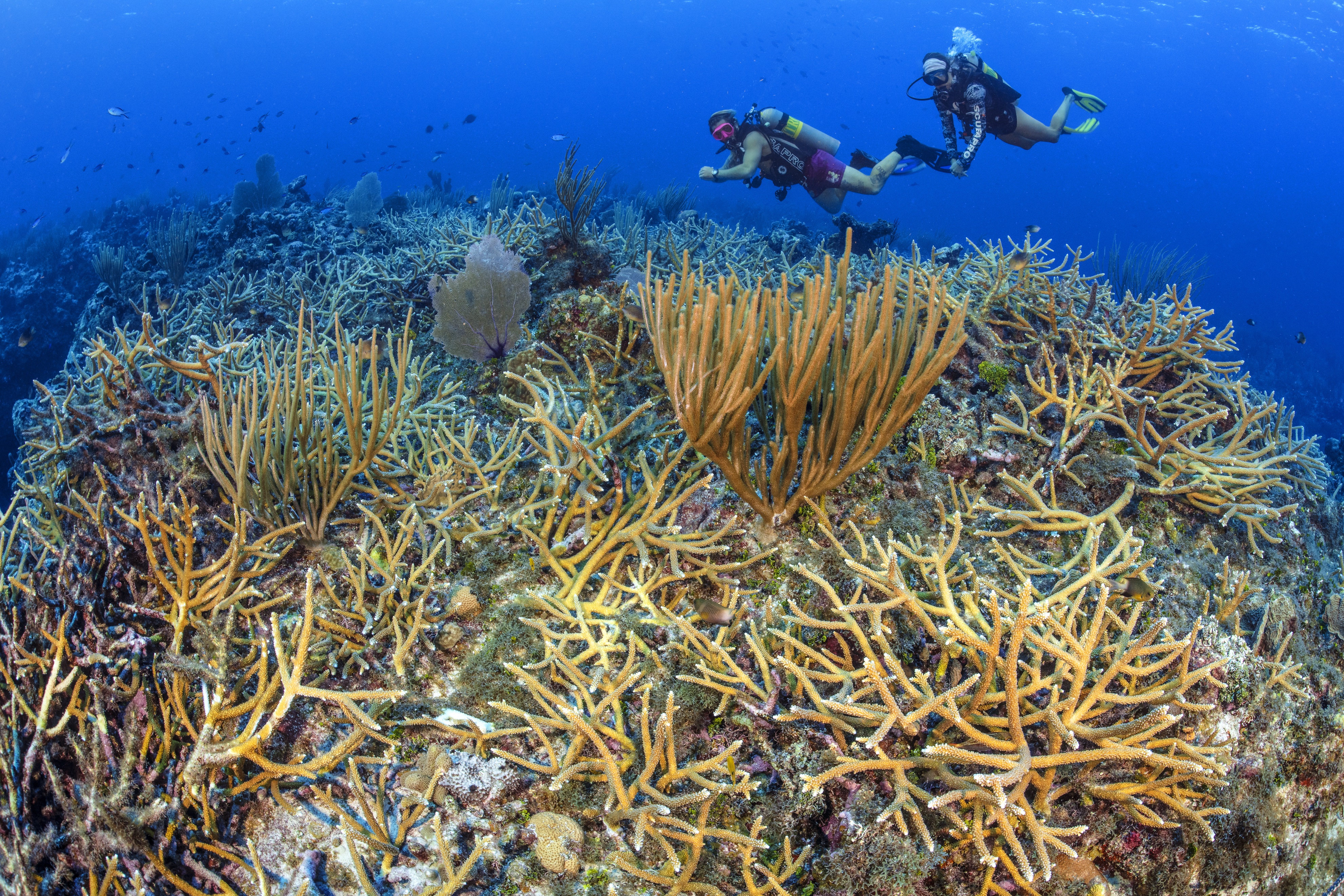
At around 60 feet, a line of east-west running coral heads allows divers to zigzag between impressive hard and soft coral formations. Sandy areas are full of Pike Blennies, tiny fish that live in burrows and poke their pointy noses out — males will warn intruders by opening their mouths wide and erecting their pronounced dorsal fin. At the eastern edge, one of Ocean Frontiers' coral outplanting sites features 30-foot PVC trees full of baby corals that have graduated from the protected nursery inside the lagoon, always attracting a variety of larger fish who have made the trees their regular hangout.